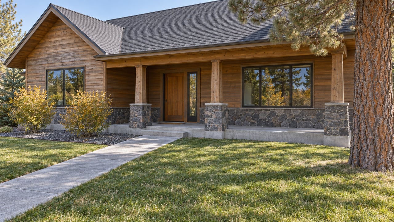
Ben Walsh grew up on family land a half-mile east of Sisters City Hall. From the back porch you look out over a wide grassy meadow with a rocky ridge along one side. He works as a construction contractor and manager in Portland. While he works on the City of Sisters' urban growth boundary process, he has been spending more time on the property. The family's 20 acres are expected to fall inside the new line. He pictures the meadow becoming a park or nature preserve, with neighborhoods built around it.
The line is close to final. On October 14, 2026, the Sisters City Council holds its hearing to approve or reject the expansion application. The Deschutes County Board of Commissioners takes it up on October 22. Owners of land in the expansion area, and heirs or trustees responsible for it, will reasonably ask what that land is worth once it sits inside the boundary. The approval documents point to a narrower answer. On the day the line is acknowledged, very little changes. What changes later depends on whether your parcel touches city limits, what your neighbors decide, and an annexation code the council has not adopted yet.
What the October votes do, and what they leave alone
The application covers 316.42 gross acres east and northeast of town. The area lies north of Highway 126 and south of Sisters Eagle Airport, with boundaries that follow Camp Polk Road and the highway. City officials expect it to hold more than 1,100 new homes, plus land for a school, parks, commercial uses, and industrial uses. The city's December 2025 land-needs report projects a need for 1,973 more housing units from 2023 to 2043. It counts room for about 1,205 inside the current boundary, which leaves a gap of roughly 768 units, mostly low-density housing.
The Deschutes County Planning Commission recommended approval on September 10. Five of the six commissioners present supported each issue. The Nugget reported that city leaders want both local approvals done before a January 1 deadline. Missing it could force the city to redo its reports.
After both local bodies approve, the State of Oregon has to acknowledge the new boundary. As The Nugget reported on September 29, the properties then stay in the county, and their county land uses stay the same. The area gets a new label, the Sisters Urban Area Reserve. City planners will then draw an area plan showing where housing, commercial, industrial, parks, a school, and infrastructure should go. That map only comes into play when a qualifying owner applies to annex.
So the October votes make land eligible to become part of Sisters someday. The decision that actually moves a property comes at annexation.
Annexation starts at the city edge and works outward
The City of Sisters' draft annexation ordinance limits eligibility to property inside the growth boundary that is contiguous with city limits. A parcel separated from city limits only by a public right-of-way, a stream, or another body of water also qualifies. In general, the applicant must file a master plan at the same time. Under the draft, an owner moving from reserve land to buildable city land goes through roughly these steps:
- Confirm eligibility. The property must abut city limits or be separated from them only by a right-of-way or waterway.
- Show capacity and pay for impacts. The applicant must show there is enough capacity for water, sewer, stormwater, transportation, schools, and parks. The applicant must also cover on-site and off-site improvements and the impacts on existing city systems. Those terms go into an annexation agreement or another funding arrangement the council approves, and that happens before annexation.
- Bring streets up to standard and transfer water rights. Rights-of-way have to be improved to urban standards. Irrigation-district water rights generally have to be transferred before final plat or final occupancy, unless the council grants an exception.
- Petition and plan. After the agreement is set, the owner petitions to annex and submits a land-use plan. Subdivision or other approvals may still be needed before any construction.
Step one is where location sets the order. A parcel next to city limits can apply once the code is in place. A parcel farther out has to wait until the land between it and the city annexes first. As The Nugget reported, property owners do not have to agree to be included in a growth boundary expansion, and once the boundary expands, each owner decides whether to annex. Some owners in the selected area have said they do not want their land inside the boundary. Planning Commission Chair Matt Cyrus raised this at the July 9 hearing:
"My concern is whether or not you have a Tetris problem on your hands."
On September 10 he cast the only no vote on one issue: whether the proposed map efficiently meets the identified land needs. He said that owners who choose not to annex would isolate owners who want to. County senior planner Kyle Collins told the commission it had no authority to change the city's application.
The affordable-housing share is still a draft
Once a parcel is eligible, the next question is what annexation will require, and that has not been settled. The May 27, 2026 draft would require residential annexations to provide affordable units equal to 25% of the market-rate units, spread across income bands. The bands run from households at 30% of area median income or below up to the 80% to 120% range, and at least half of the upper-band units would be ownership homes. Some council members have proposed a 30% minimum.
The draft also includes three provisions that matter a great deal to anyone valuing land out there:
- A land alternative. An owner could give the city or a nonprofit housing developer title to land inside the annexed area in place of building the units. Before the transfer, the owner would have to extend water, sewer, electricity, stormwater, and streets to that land, and the transfer would have to happen before any residential building permit is issued.
- Long deed restrictions. Affordable units would stay restricted for 30 years for ownership homes and 60 years for rentals.
- A five-acre threshold. Annexations totaling five acres or less would be exempt from the affordable-housing requirements altogether.
The local affordable-housing developers who reviewed the draft noted that a project needs at least about 40 units to produce enough affordable units to work with. At a June workshop, developers questioned whether even a 20% requirement would pencil out. Central Oregon LandWatch supported a 25% target but asked for flexibility, including annexation without immediate development plans when infrastructure agreements can be coordinated.
All of this changes the arithmetic depending on parcel size. A small parcel next to city limits, or a few of them annexing together under five acres, would face a lighter set of obligations under the current draft. A larger parcel farther out would face the affordable share, the infrastructure costs, and the wait for its neighbors. On September 23 the council held its fourth annexation code workshop, which focused on affordable housing. A review of the full code comes next, and then an adoption hearing. No date has been set.
Why the parcel next door affects your number
Within the 316 acres, The Nugget reported in October 2025 that the most developable portion was about 160 acres across five tax lots with no CC&Rs, east of North Locust Street and south of the airport. Much of the east side became rural residential land when Brooks Resources sold lots there in the 1970s. CEO Kirk Schueler told the Source that the company has put together agreements with some of those landowners for a master-planned development that would include 30% affordable housing.
Some people doubt the area will develop quickly. Bill Willitts, whose 58-acre McKenzie Meadows Village property on the west side was left out, told the planning commission in July that the east-side area is "paper land that's never going to turn into dirt." On August 19, 2026, the Oregon Land Use Board of Appeals sent the county's rezoning of that property back for further review. Willitts has said the owners would appeal a growth boundary approval if the city did not address wetlands concerns up front. As of September 30, no appeal of the expansion has been reported.
For anyone pricing, inheriting, or buying land in the reserve, the useful questions are specific to the parcel:
- Does the parcel touch city limits now, or only across a road or waterway?
- If it doesn't, who owns the land between it and the city, and are those owners part of an assembled plan?
- Is the parcel near the five-acre threshold, alone or combined with neighbors?
- Do CC&Rs, irrigation water rights, or road frontage affect what an annexation agreement would require?
For a trustee or an out-of-state heir, the answers can move a sale timeline by years. Until the code is adopted, any number built on annexation potential is an estimate based on a draft.
A Few Questions We Hear
Does county zoning change when the boundary is approved? No. Under the city's process, the land stays in the county with its current county land uses. It changes only if the owner later annexes. For tax or legal effects on a specific property, check with your own advisor.
How can I comment before the hearings? The city accepts written testimony for the October 14 hearing at [email protected], and you can also speak in person. The county takes comments at [email protected]. The Nugget and the city's project page list different start times for the October 22 county hearing, so confirm the time with Deschutes County.
Is McKenzie Meadows Village part of the expansion? No. The city went ahead without it while its rezoning was tied up in a LandWatch appeal.
If you're responsible for land east of Sisters through a trust or an estate, or because it has been in your family for decades, the months ahead are a good time to understand where your parcel sits relative to the city edge. Janet Davey has worked in Central Oregon real estate since 2003 and can help you think through timing, preparation, and the questions to bring to your attorney or advisor. Let's Connect.
This article is general information, not legal, tax or financial advice. Consult a qualified professional about your situation.